The island model

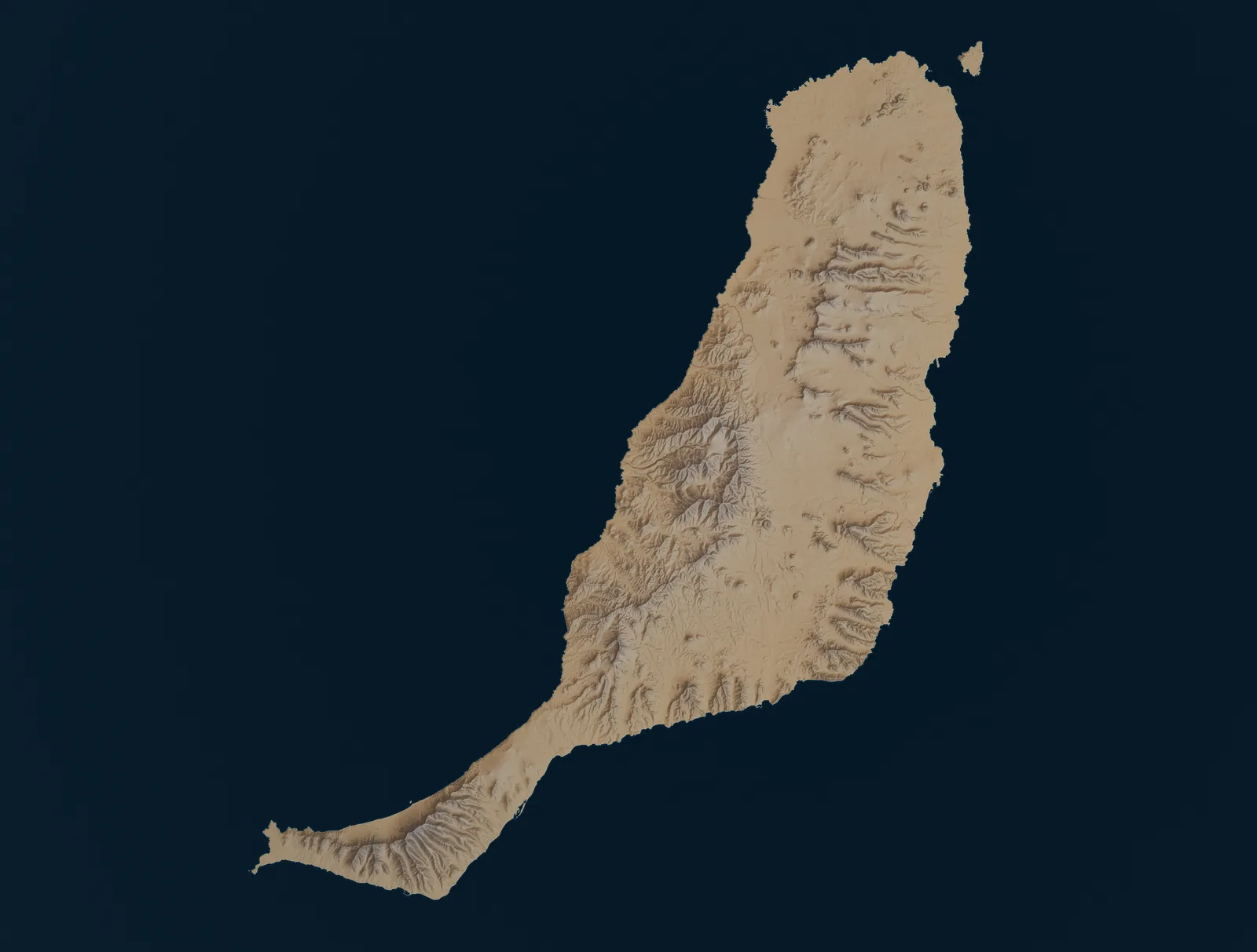
Fuerteventura on its relief

Every place this guide covers, on the real relief, with the lines that reach it. Choose a place for its bus answer.
Skip the map to the list of places
Fuerteventura’s relief with the bus lines this guide publishes Shaded relief of Fuerteventura from Copernicus elevation data, with the TIADHE lines this guide publishes and the nine places it covers. Line 3, Line 10, Line 16: Fuerteventura Airport to Puerto del Rosario Line 3, Line 10, Line 16: Fuerteventura Airport to Caleta de Fuste Line 16: Antigua to Caleta de Fuste Line 3, Line 10: Caleta de Fuste to Salinas del Carmen Line 10: Salinas del Carmen to Gran Tarajal Line 1: Puerto del Rosario to La Ampuyenta Line 1: La Ampuyenta to Antigua Line 1, Line 16: Antigua to Tiscamanita Line 1, Line 16: Tiscamanita to Tuineje Line 1, Line 16: Tuineje to Gran Tarajal Line 1: Gran Tarajal to Las Playitas — only trips keyed “Entra en las Playitas” Line 1, Line 10: Gran Tarajal to La Lajita Line 1, Line 10: La Lajita to Costa Calma Line 1, Line 5: Costa Calma to Mal Nombre; Line 10 runs past Mal Nombre without stopping Line 1, Line 5: Mal Nombre to Esquinzo; Line 10 runs past Mal Nombre and Esquinzo without stopping Line 1, Line 5: Esquinzo to Morro Jable; Line 10 runs past Esquinzo without stopping Line 6: Puerto del Rosario to Corralejo Line 8: Corralejo to El Cotillo Line 7: Puerto del Rosario to Tindaya Line 7: Tindaya to La Oliva Line 7: La Oliva to El Cotillo Line 2: Puerto del Rosario to Tefía Line 2: Tefía to Betancuria Line 111: Morro Jable to Cofete — a remote peninsula journey Ferry: Corralejo to Playa Blanca (Lanzarote) 3 · 10 · 16 3 · 10 · 16 16 10 1 1 · 16 1 · 10 1 · 5 6 8 7 2 111 Puerto del Rosario Puerto del Rosario Airport Airport Corralejo Corralejo El Cotillo El Cotillo Caleta de Fuste Caleta de Fuste Betancuria Betancuria Costa Calma Costa Calma Morro Jable Morro Jable Cofete Cofete Isla de Lobos — boat only Isla de Lobos boat only Tindaya Tindaya La Oliva La Oliva Tefía Tefía Salinas del Carmen Salinas del Carmen Antigua Antigua Gran Tarajal Gran Tarajal La Ampuyenta La Ampuyenta Tiscamanita Tiscamanita Las Playitas Las Playitas La Lajita La Lajita Esquinzo Esquinzo Tuineje Tuineje Mal Nombre Mal Nombre Playa Blanca (Lanzarote) ↑

Terrain Copernicus DEM GLO-30. © DLR e.V. 2010-2014 and © Airbus Defence and Space GmbH 2014-2018, provided under COPERNICUS by the European Union and ESA.

Bus lines on the map

  • Airport lines
  • North: Corralejo, El Cotillo and the Lanzarote ferry
  • South: Morro Jable, Costa Calma and Cofete
  • Interior: Betancuria

Places

22 places

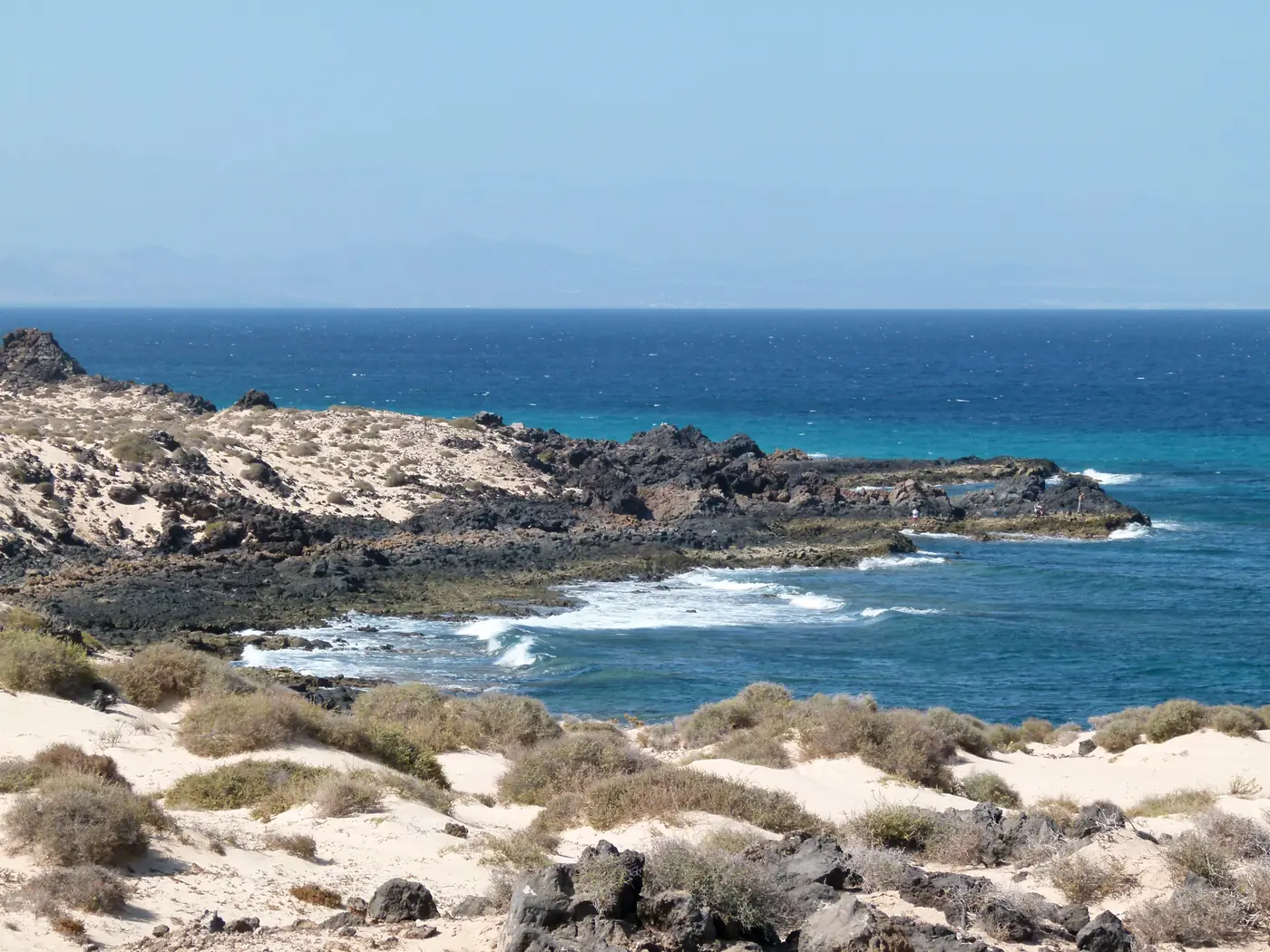
  1. Corralejo dunes and dark volcanic shore looking across the Atlantic, Fuerteventura.
    Photo: Norbert Nagel, Mörfelden-Walldorf, Germany, CC BY-SA 3.0 (cropped), via Wikimedia Commons

    Towns

    Corralejo

    Corralejo by bus: the dunes of the natural park, the harbour for Lobos and Lanzarote, and the line 6 link to Puerto del Rosario, with dated departures.

    Scheduled service

    Lines on the map

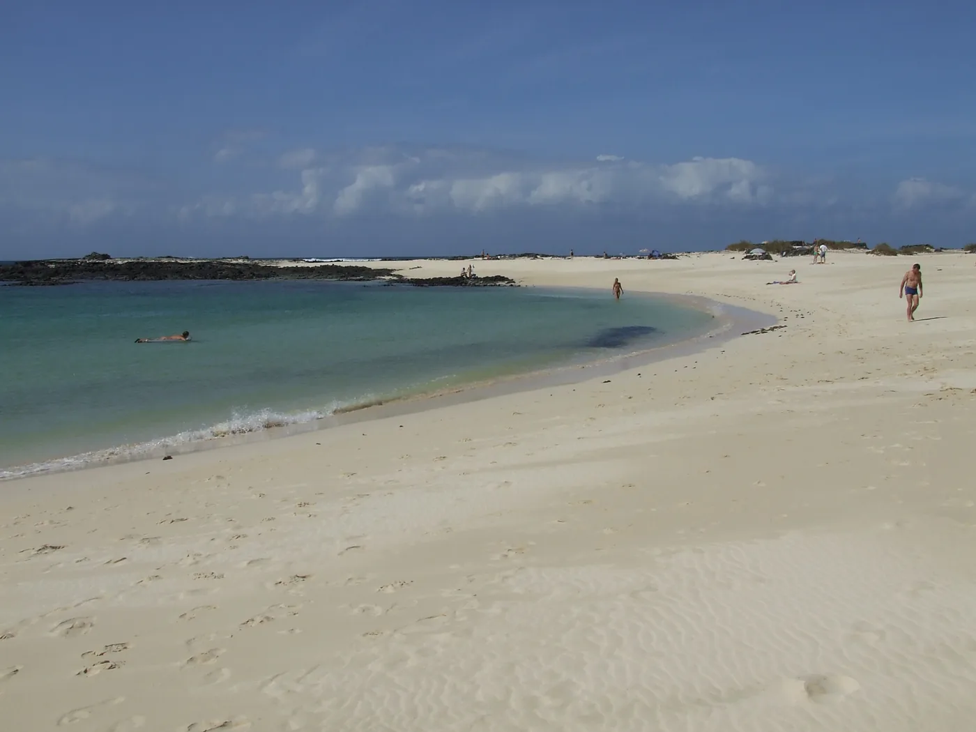
  2. Sandy beach and turquoise water at El Cotillo, Fuerteventura.
    Photo: Mauroonline, CC BY 3.0 (cropped), via Wikimedia Commons

    Coast and beaches

    El Cotillo

    El Cotillo by bus: the harbour, the surf coast, the sheltered lagoons and Tostón lighthouse, with line 8 from Corralejo and line 7 from the capital.

    Scheduled service
    Lines on the map

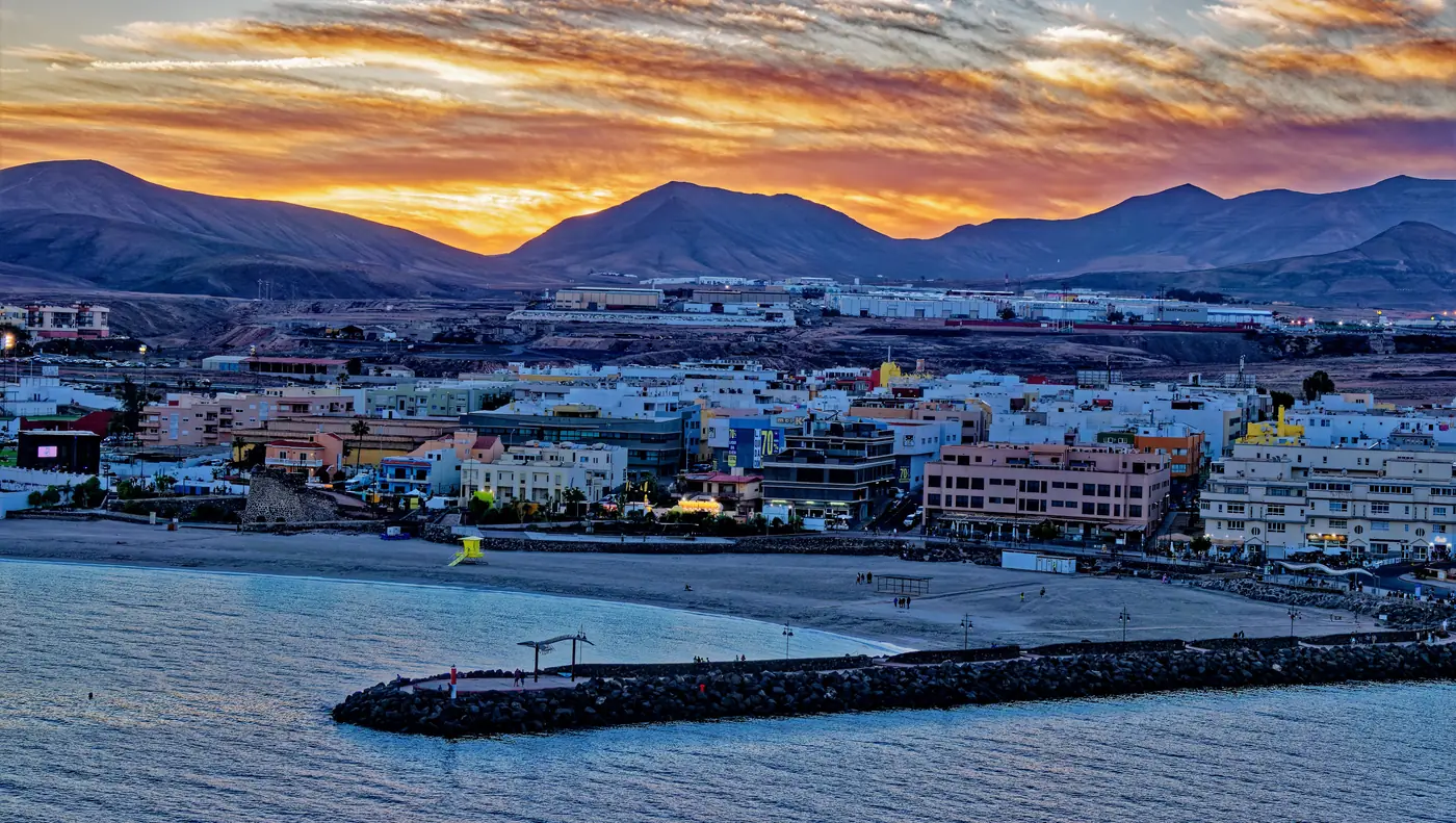
  3. Puerto del Rosario waterfront at sunset, Fuerteventura.
    Photo: Holger Uwe Schmitt, CC BY-SA 4.0 (cropped), via Wikimedia Commons

    Use Fuerteventura’s capital for its harbourfront, everyday city centre and practical links north, south and to the airport.

    Scheduled service

    Lines on the map
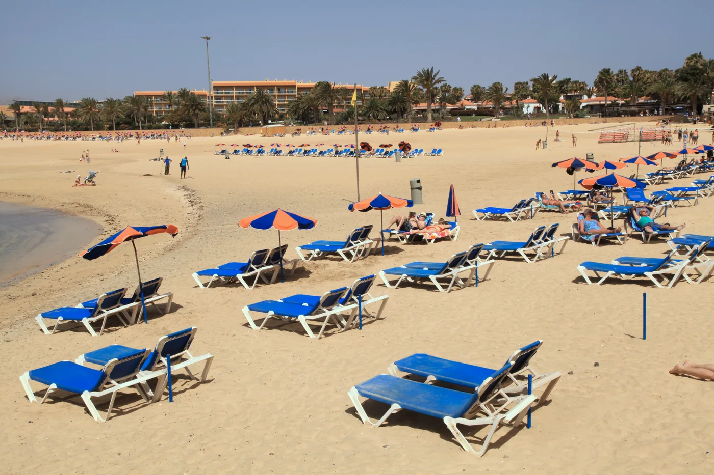
  4. Castillo beach with golden sand, sun loungers and palms at Caleta de Fuste, Fuerteventura.
    Photo: Frank Vincentz, CC BY-SA 3.0 (cropped), via Wikimedia Commons

    Coast and beaches

    Caleta de Fuste

    Plan a relaxed Caleta de Fuste stay around Castillo beach, the marina and resort amenities, with line 3 from the airport.

    Scheduled service

    Lines on the map
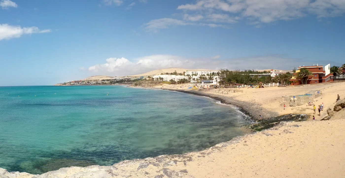
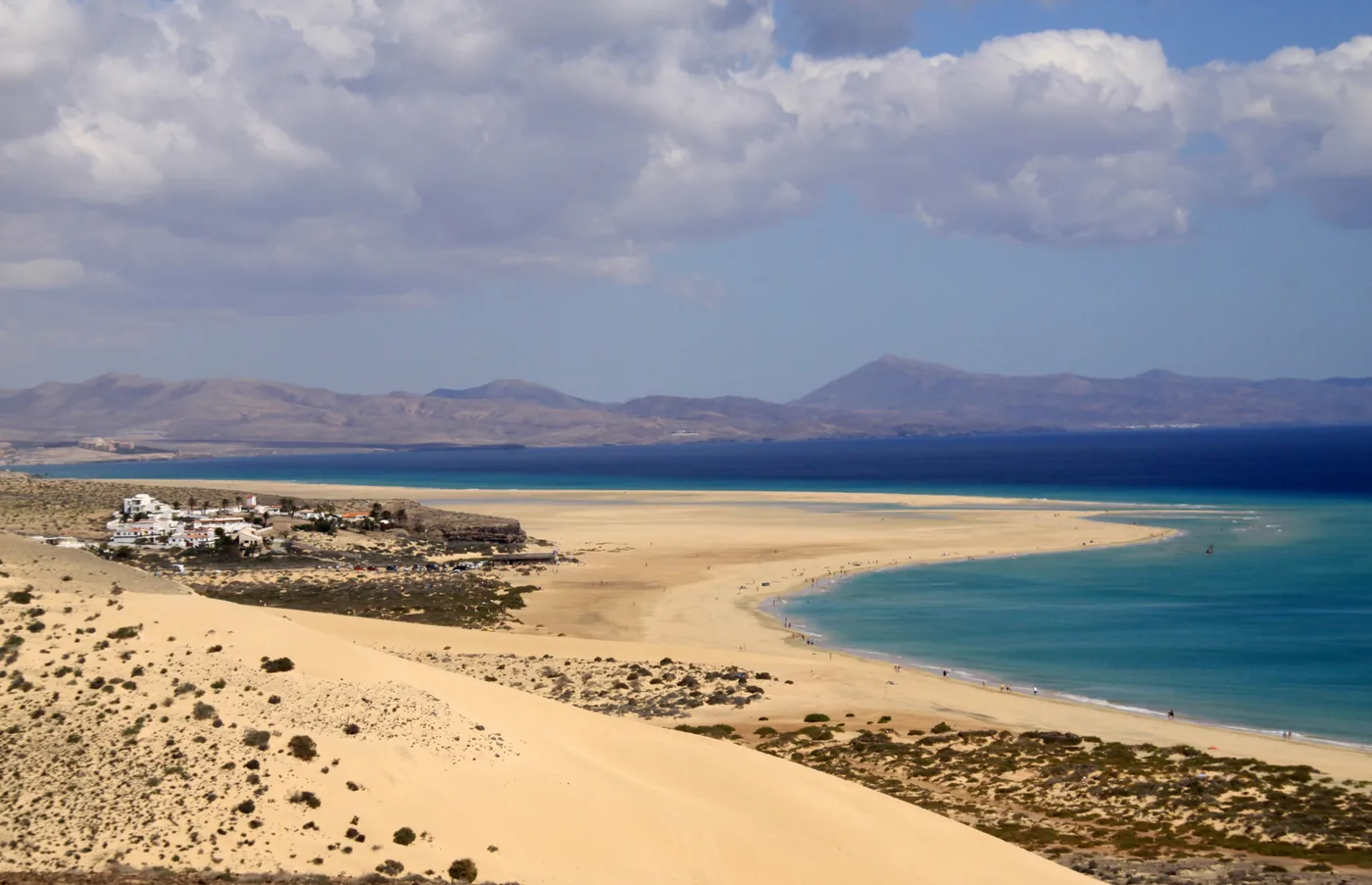
  5. Turquoise water and pale sand along the coast at Costa Calma, Fuerteventura.
    Photo: Klapi, CC BY-SA 4.0 (cropped), via Wikimedia Commons

    Coast and beaches

    Costa Calma

    Costa Calma by bus: a long white-sand beach and water-sport coast on Jandía, with lines 1, 5 and 10 on the main road and dated departures to Morro Jable.

    Scheduled service
    Lines on the map

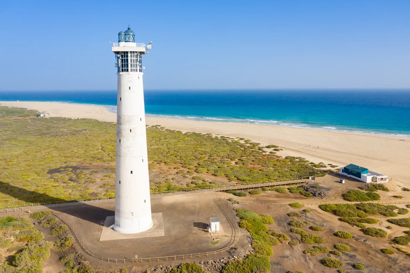
  6. Morro Jable lighthouse beside Playa del Matorral, Fuerteventura.
    Photo: dronepicr, CC BY 2.0 (cropped), via Wikimedia Commons

    Towns

    Morro Jable

    Discover Morro Jable’s broad southern beaches, fishing-village centre and harbour, with verified capital and airport guidance.

    Scheduled service
    Lines on the map

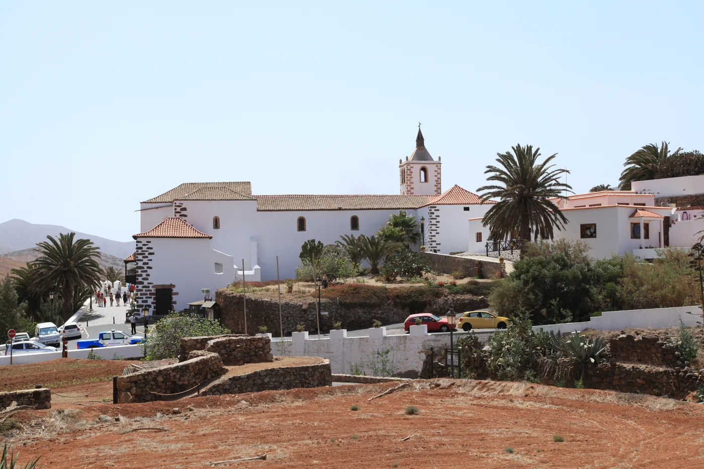
  7. Santa María church, palms and whitewashed houses in the historic village of Betancuria, Fuerteventura.
    Photo: Frank Vincentz, CC BY-SA 3.0 (cropped), via Wikimedia Commons

    Culture

    Betancuria

    Step into Fuerteventura's former capital for Santa María church, the Archaeological Museum and a quiet inland landscape, with line 2 checked by date.

    Scheduled service

    Lines on the map
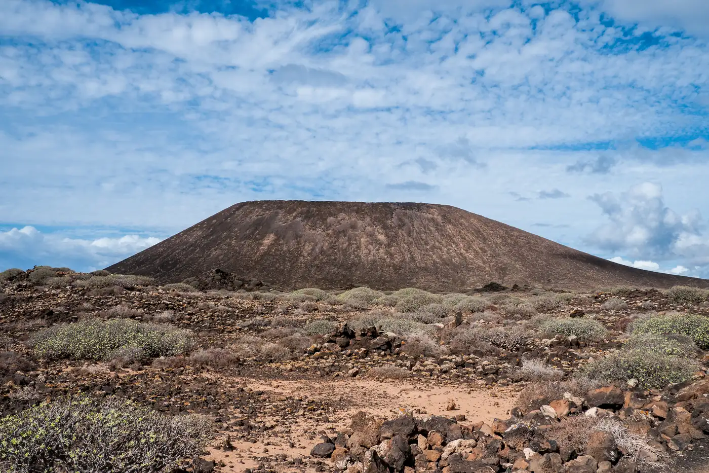
  8. Montaña de la Caldera rising above volcanic scrub on Isla de Lobos, Fuerteventura.
    Photo: Jumilla (https://www.flickr.com/people/jumilla/), CC BY 2.0 (cropped), via Wikimedia Commons

    Nature

    Isla de Lobos

    Plan Lobos as a separate sea journey with Cabildo authorization, a return boat and time for La Concha, El Puertito and the volcanic trail.

    No bus stop here
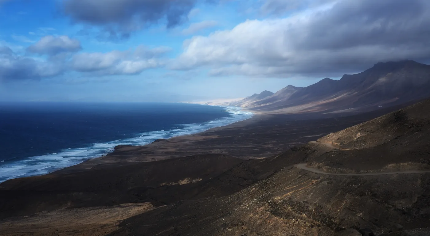
  9. Cofete beach sweeping beneath the Jandía mountains on Fuerteventura's wild west coast.
    Photo: Frank Vassen from Brussels, Belgium, CC BY 2.0 (cropped), via Wikimedia Commons

    Nature

    Cofete

    Approach Cofete as a remote landscape day, with limited line 111 checked first and strong Atlantic conditions shaping every beach decision.

    Conditions apply

    Lines on the map

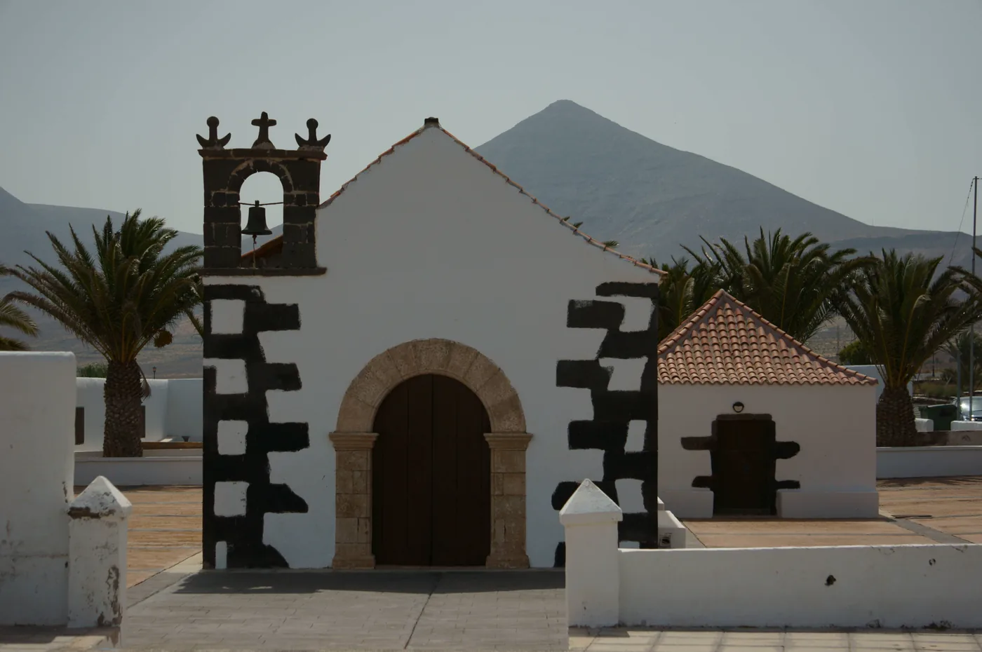
  10. The white chapel of Tindaya with palms and mountains behind, Fuerteventura.
    Photo: Jarek Prokop, CC BY 3.0 (cropped), via Wikimedia Commons

    Nature

    Tindaya

    A village at the foot of Tindaya Mountain, which the island’s first inhabitants held sacred, on TIADHE line 7 between Puerto del Rosario and El Cotillo.

    Scheduled service

    Lines on the map

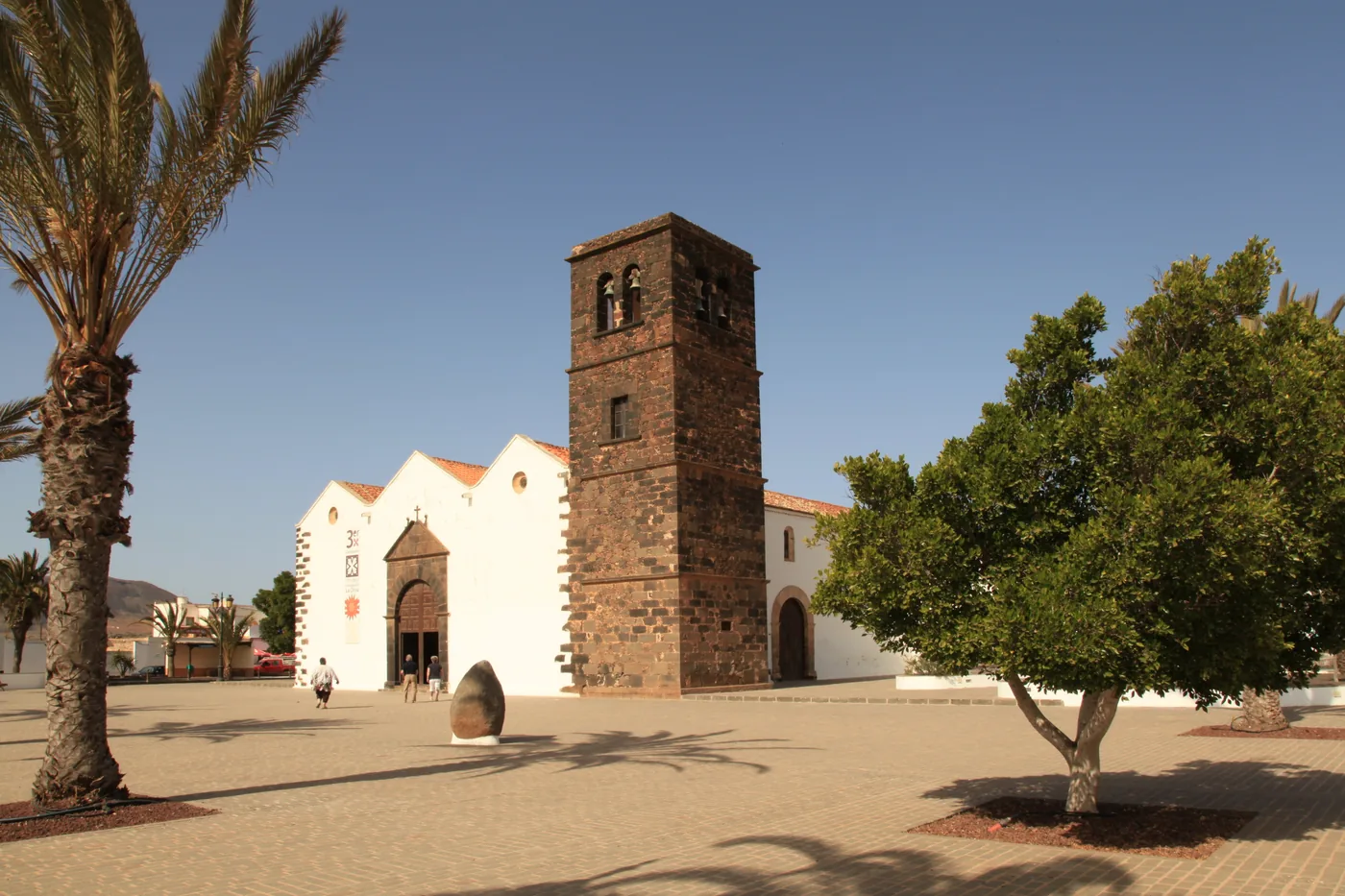
  11. The church of Nuestra Señora de la Candelaria with its square stone tower on the church square of La Oliva, Fuerteventura.
    Photo: Frank Vincentz, CC BY-SA 3.0 (cropped), via Wikimedia Commons

    Culture

    La Oliva

    A northern town with the seventeenth-century Casa de los Coroneles, closed for restoration, and one of the island’s biggest churches, on lines 7 and 8.

    Scheduled service

    Lines on the map

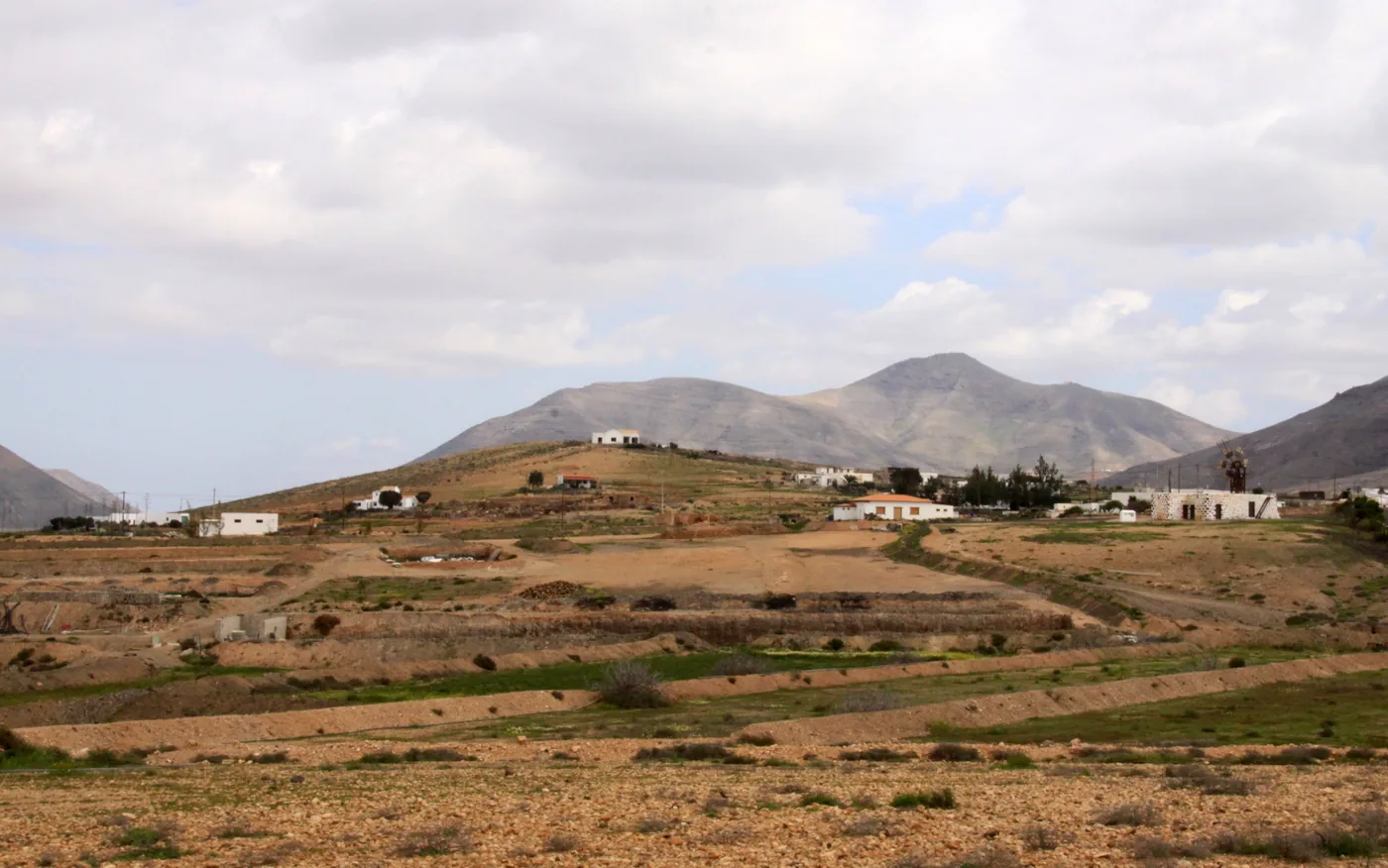
  12. Fields and scattered houses at Tefía below bare mountains, Fuerteventura.
    Photo: Tony Hisgett from Birmingham, UK, CC BY 2.0 (cropped), via Wikimedia Commons

    Culture

    Tefía

    A rural stop in the centre-north for La Alcogida, a living museum of seven traditional houses, and the windmill that once ground gofio, on line 2 by bus.

    Scheduled service

    Lines on the map

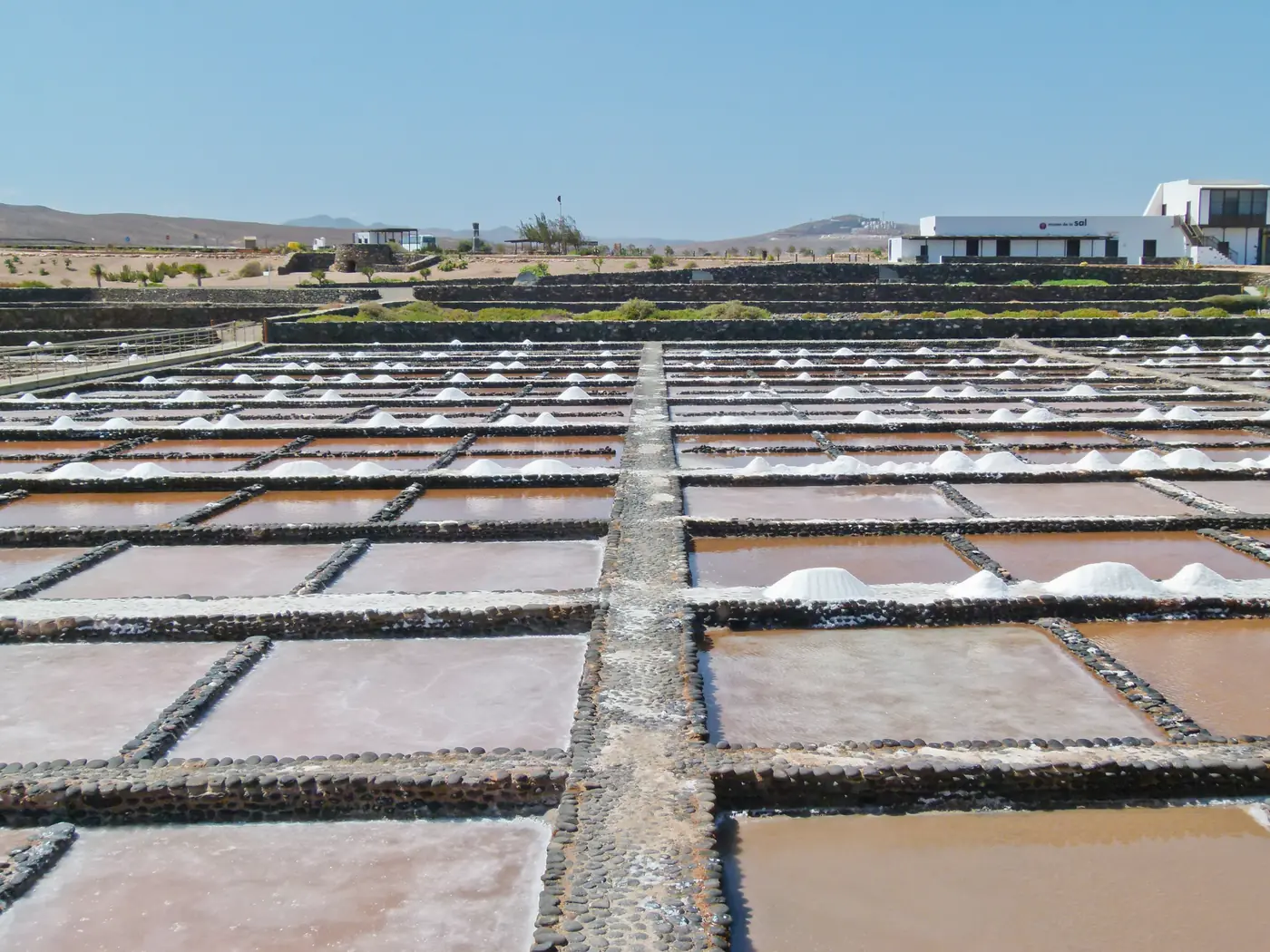
  13. The pans of Salinas del Carmen with heaps of salt on the coast of Fuerteventura.
    Photo: Norbert Nagel, Mörfelden-Walldorf, Germany, CC BY-SA 3.0 (cropped), via Wikimedia Commons

    Original salt pans, still worked, with the Salt Museum beside them, next to Caleta de Fuste: the end of line 3 from the airport, and a stop on line 10.

    Scheduled service
    Lines on the map

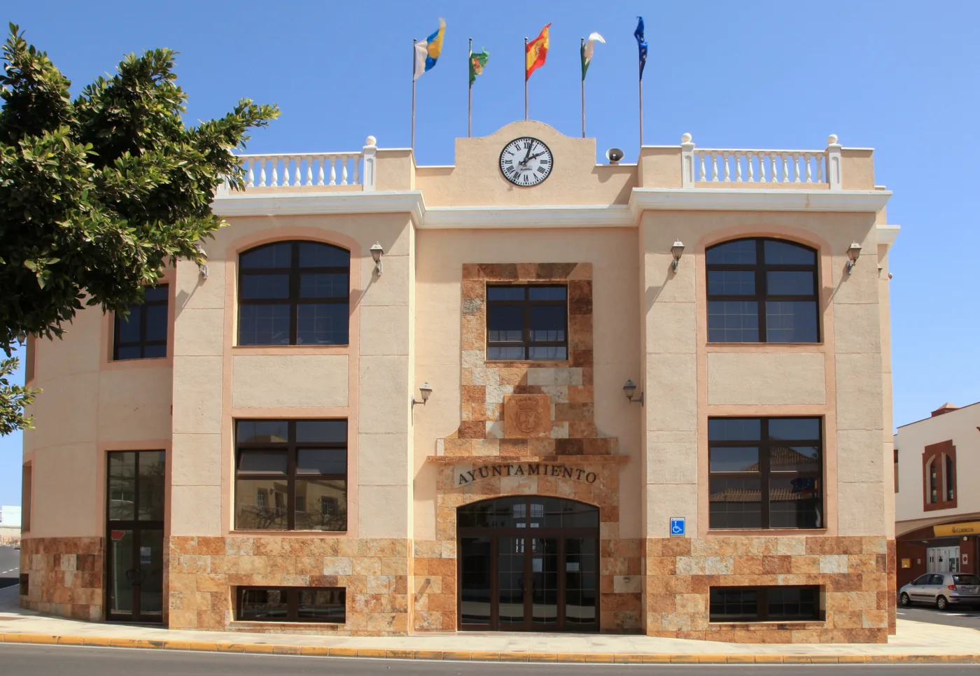
  14. The town hall of Antigua with its clock and flags, Fuerteventura.
    Photo: Frank Vincentz, CC BY-SA 3.0 (cropped), via Wikimedia Commons

    Culture

    Antigua

    A historic inland town of windmills, a windmill museum, a craft shop and old mansions, on lines 1 and 16 and the line 2 trips keyed via Antigua.

    Scheduled service

    Lines on the map

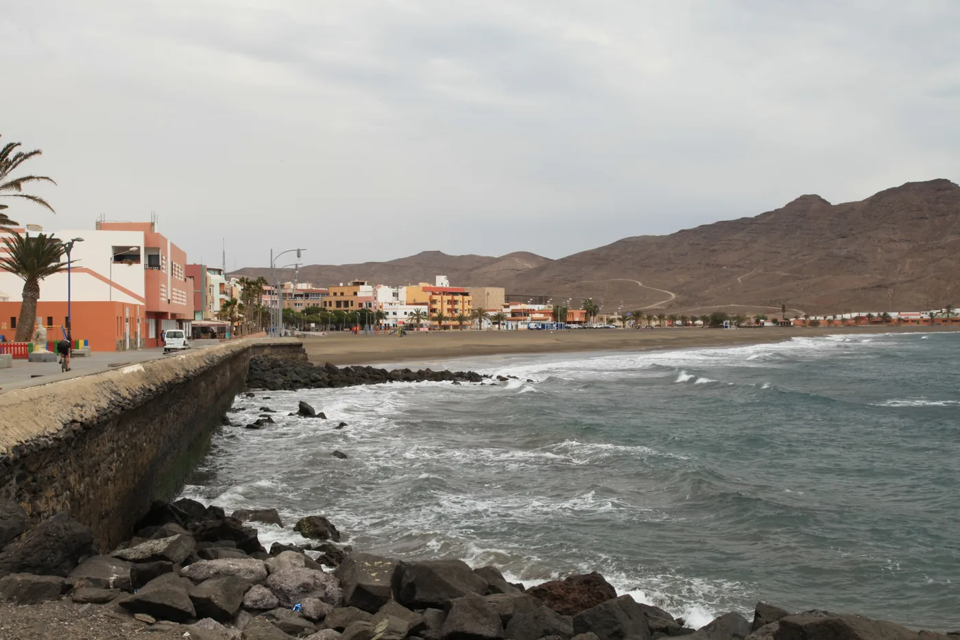
  15. The seafront and beach of Gran Tarajal with breaking waves, houses and mountains behind, Fuerteventura.
    Photo: Frank Vincentz, CC BY-SA 3.0 (cropped), via Wikimedia Commons

    Coast and beaches

    Gran Tarajal

    The main town of Tuineje, with a long dark-sand urban beach, a seafront promenade and a marina, on TIADHE lines 1, 10 and 16.

    Scheduled service
    Lines on the map

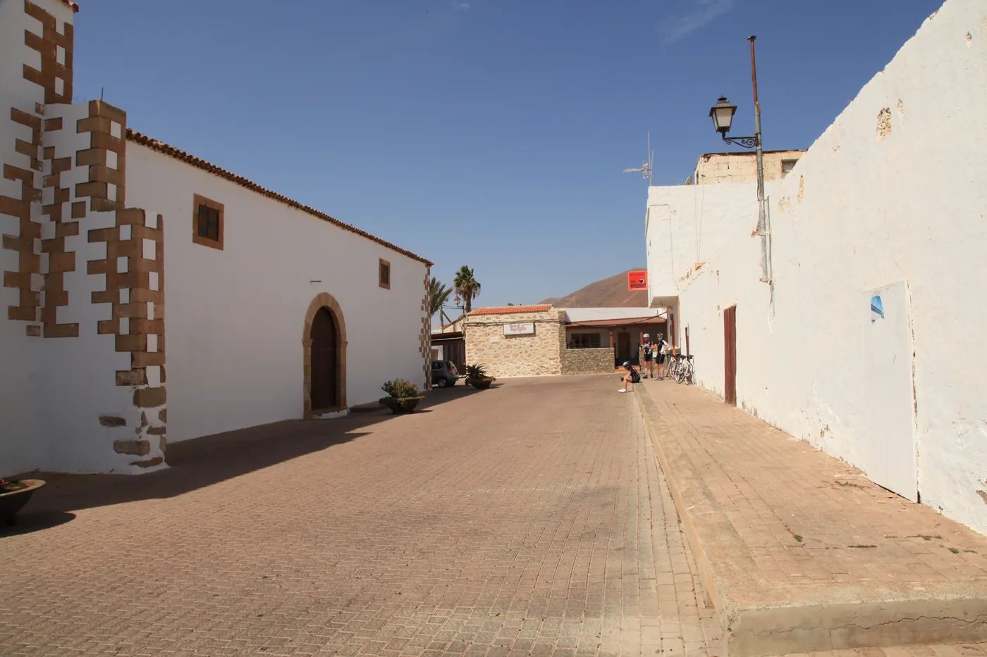
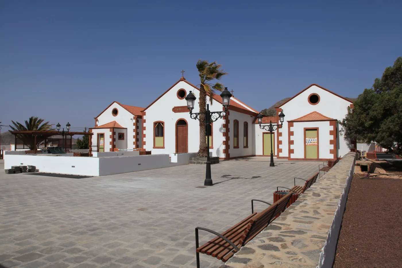
  16. The white chapel of San Pedro de Alcántara with red-trimmed corners on a paved square in La Ampuyenta, Fuerteventura.
    Photo: Frank Vincentz, CC BY-SA 3.0 (cropped), via Wikimedia Commons

    Culture

    La Ampuyenta

    A small rural village with Doctor Mena’s house, the hospital he promoted and the house of Fray Andresito, on line 1 and line 2 (Almácigo roundabout).

    Scheduled service
    Lines on the map

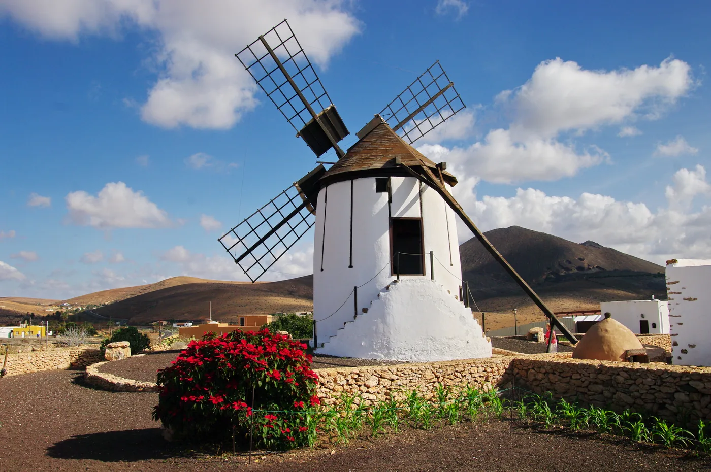
  17. The white windmill of the mill centre in Tiscamanita with flowers in front and mountains behind, Fuerteventura.
    Photo: Balou46, CC BY-SA 3.0 (cropped), via Wikimedia Commons

    Culture

    Tiscamanita

    A village in the centre of the island with the Los Molinos Visitors’ Centre and a refurbished windmill, on TIADHE lines 1 and 16 in both directions.

    Scheduled service

    Lines on the map
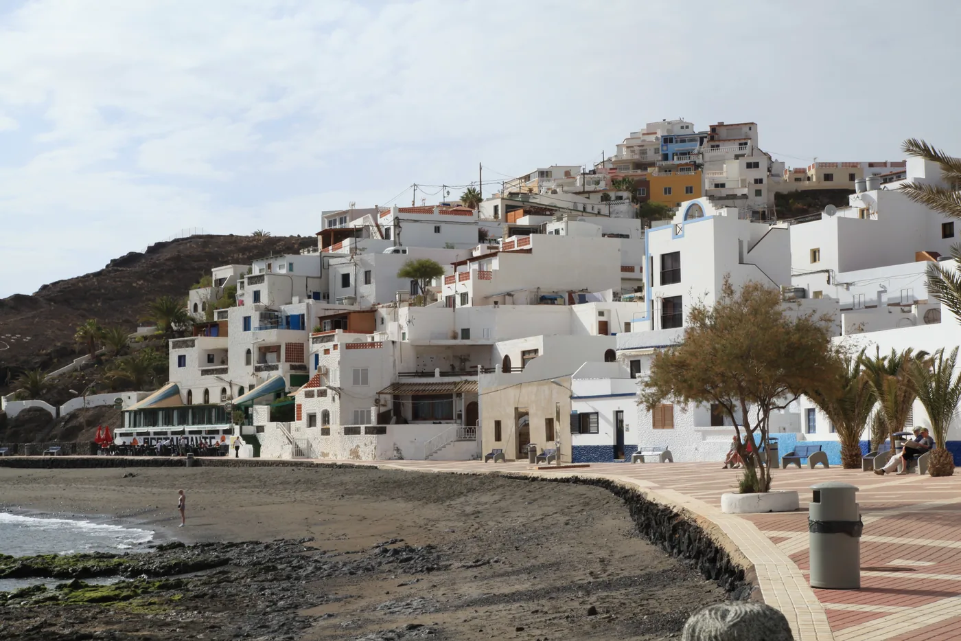
  18. White houses of Las Playitas on the slope above the seafront promenade and the dark beach, Fuerteventura.
    Photo: Frank Vincentz, CC BY-SA 3.0 (cropped), via Wikimedia Commons

    Towns

    Las Playitas

    A small fishing village of white houses near Gran Tarajal, with a volcanic sand beach, served by the TIADHE line 1 trips keyed “Entra en las Playitas”.

    Conditions apply

    Lines on the map
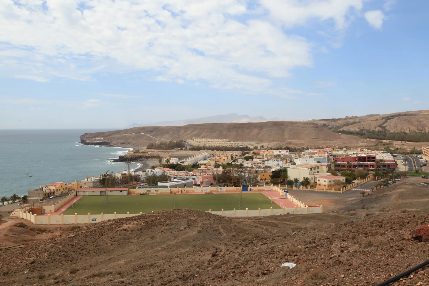
  19. The village of La Lajita with its football pitch by the bay, coast and mountains behind, Fuerteventura.
    Photo: Frank Vincentz, CC BY-SA 3.0 (cropped), via Wikimedia Commons

    Coast and beaches

    La Lajita

    A secluded black-sand beach in the bay of La Lajita, opposite the fishing village of the same name, on TIADHE line 1 both ways and line 10 at the Zoo stop.

    Scheduled service

    Lines on the map

  20. The long golden beach of Esquinzo-Butihondo with hotels on the cliffs, seen from the air from the east, Fuerteventura.
    Photo: dronepicr, CC BY 2.0 (cropped), via Wikimedia Commons

    Coast and beaches

    Esquinzo

    A long golden-sand beach beside the Esquinzo Butihondo development, north of Morro Jable, on TIADHE lines 1 and 5 in both directions.

    Scheduled service

    Lines on the map

  21. The church of San Miguel Arcángel in Tuineje, on Calle 13 de Octubre, Fuerteventura.
    Photo: Frank Vincentz, CC BY-SA 3.0 (cropped), via Wikimedia Commons

    Culture

    Tuineje

    Tuineje, where the Casa de Las Simonas interpretation centre tells of the battles of El Cuchillete and Tamasite in 1740, on TIADHE lines 1 and 16.

    Scheduled service

    Lines on the map

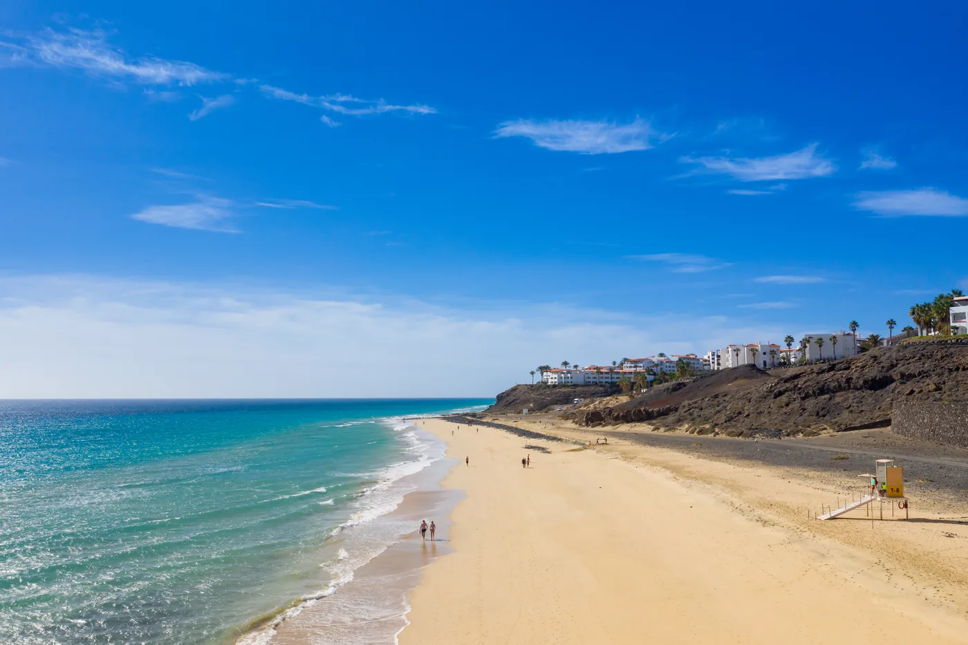
  22. The pale sand beach of Mal Nombre with turquoise sea and mountains behind, Fuerteventura.
    Photo: Tony Hisgett from Birmingham, UK, CC BY 2.0 (cropped), via Wikimedia Commons

    Coast and beaches

    Mal Nombre

    A white-sand beach with turquoise water between Costa Calma and Morro Jable, sheltered by cliffs, with TIADHE line 1 and line 5 stops nearby.

    Scheduled service

    Lines on the map

At a glance

What the map holds

  • 24

    Bus links drawn on the map

    Counted from this guide’s own map: each link carries one or more TIADHE lines that this guide’s journey guides publish. The Lanzarote ferry is drawn as well and not counted here. Counted on 6 October 2026.

    Source: Fuerteventura BusThis guide’s journey guides (counted on its map)

  • 21 / 22

    Places reached by a published line

    Counted from this guide’s own map. Lobos has no bus: it is reached by a separately booked boat from Corralejo harbour. Counted on 6 October 2026.

    Source: Fuerteventura BusThis guide’s journey guides (counted on its map)

  • 1

    Airport, with three bus lines

    Aena lists lines 3, 10 and 16 at Fuerteventura Airport.

    Source: AenaHow to get to Fuerteventura Airport by bus

  • 799 m

    Highest ground in the elevation model

    The highest point of the map’s relief, resampled from Copernicus DEM GLO-30 when it was rendered on 5 October 2026.

    Source: Copernicus (European Union and ESA)Copernicus DEM GLO-30 on the Registry of Open Data on AWS

Before you set out

The weather now, where it decides the day

Current readings from Open-Meteo at four places this guide covers. They are measurements, not a statement about any bus or boat.

Corralejo

Readings load in your browser

Wind
—
Gusting
—
Temperature
—
Visibility
—

El Cotillo

Readings load in your browser

Wind
—
Gusting
—
Temperature
—
Visibility
—

Puerto del Rosario

Readings load in your browser

Wind
—
Gusting
—
Temperature
—
Visibility
—

Cofete

Readings load in your browser

Wind
—
Gusting
—
Temperature
—
Visibility
—

Where the weather decides the plan

  • A crossing to Lobos Confirm the boat operator’s embarkation point and sailing conditions, and leave enough time to walk back to the Lobos jetty for the return.
  • A swim or a surf at El Cotillo Surf and swimming conditions are local and changeable. Use current beach flags, lifeguard information and qualified instruction.
  • A day at Cofete Road or weather conditions can affect this remote journey: allow for a late or missing return on the day and be ready to give up the outing if the return is uncertain.

Readings are measurements from Open-Meteo. Whether a bus or a boat trip runs is for TIADHE and the boat’s operator to say, not this panel.